Über Fotografien
Verkauft von
Über dieses Design
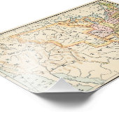
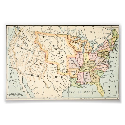
United States 1830 Historical Map Illustration Fotodruck
This historical United States 1830 map illustration showcases early American borders, territories, and states in soft vintage tones. Detailed rivers, latitude lines, and classic typography reflect authentic 19th-century cartography. From the Mississippi River to unorganized western territories, this artwork captures a pivotal moment in American history. Ideal for history enthusiasts, educators, and lovers of antique maps and early Americana aesthetics.
Kundenrezensionen
5.0 von 5 Sternen Bewertung1 Bewertungen insgesamt
1 Bewertungen
Bewertungen für ähnliche Produkte
5 von 5 Sternen Bewertung
Von C.7. Oktober 2020 • Geprüfter Kauf
12,70cm x 17,78cm, Kodak Professional Photo Paper (Satin)
Bewertungsprogramm bei Zazzle
alles super, einfache erstellung, leider beim Versand etwas geknickt. super alles fein, leider war Bild geknickt vom Versand
Tags
Andere Informationen
Produkt ID: 256844658640540749
Gemacht am: 5.1.2026, 8:14
Bewertung: G
Zuletzt angesehene Produkte