Über mich/uns
Welcome to Terra Prints - Classic, America's finest selection of antique maps, held in original form by the U.S. Library of Congress, digitized via state of the art, high resolution flatbed scanners and reproduced here using the finest archival inks and paper available.
Our selection includes: Ancient World Maps; Panoramic "Bird's eye view" American and Canadian City Maps; Victorian Era Map Illustrations and Murals; All Terra Prints - Classic products are available in sizes ranging from portfolio prints, perfect for executive gifts and office walls, to colossal murals suitable for large lobbies, foyers and museum exhibits.
Additionally, you can choose from an endless array of custom framing and printing material options.
Mehr
Kategorien
Alle Kategorien anzeigenBest Selling Antique World Maps
Vorgestellte Kollektion anzeigen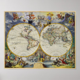

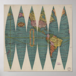
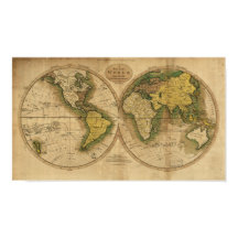
Weltkarte - 1795 poster
Preis29,85 €

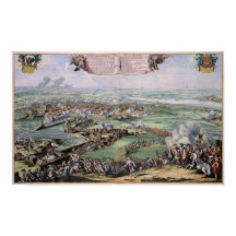
Alte Karte der Welt - 1664 Poster
Preis30,50 €
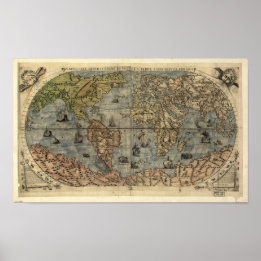
Weltkarte von 1565 poster
Preis31,90 €
Antike Weltkarte Rand McNally 1891 Poster
Preis23,60 €

Antike Karte - The British Empire 1850 Poster
Preis27,65 €

Antike Weltkarte Rand McNally 1891 Poster
Preis23,75 €
Kollektionen
Alle Kollektionen anzeigen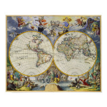

Best Selling Antique World Maps
8 Artikel


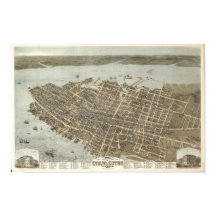
Best Selling Panoramas
18 Artikel

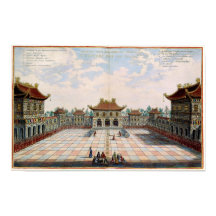
Victorian Illustrations
4 Artikel
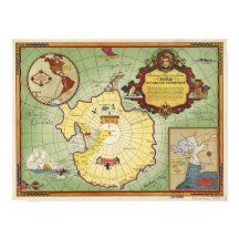

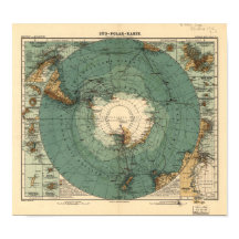
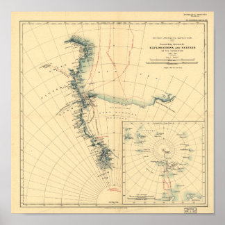
Antique Maps of Antarctica
5 Artikel
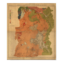
Antique National Park Maps
8 Artikel


Best of North Carolina
5 Artikel


Antique Australia Maps
3 Artikel


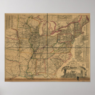
Favorite Railroad Maps
4 Artikel


Central American Maps
2 Artikel
Produkte
Alle Produkte anzeigen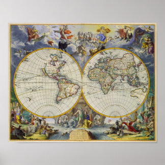
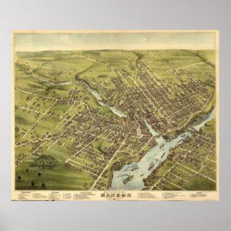
Bangor Maine 1875 Antike Panoramakarte Poster
Preis60,65 €
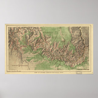
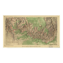
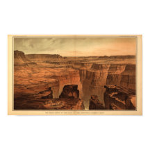
Grand Canyon Nationalpark Karte 1926 Poster
Preis63,75 €


Kürzlich verkaufte Produkte
Alle Produkte anzeigen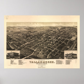
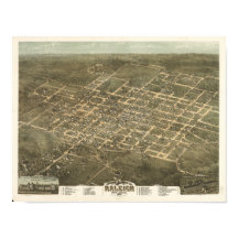
Tallahassee Florida 1885 Panoramakarte Poster
Preis70,95 €


Antike Karte - The British Empire 1850 Poster
Preis27,65 €

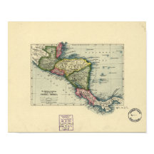
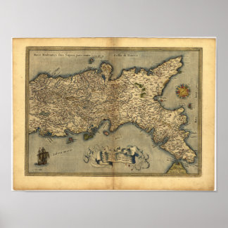
Antike Karte Zentralamerikas - 1902 Poster
Preis28,85 €

